I met up with a hiking club called Friends Hike Arizona. It is a really fun group of people, all ages, all skill levels that get together often and hike/ camp. The group I met was about 25 people and were out for a 2 night camp out and day hike to Mt. Ajo in the Organ Pipe Cactus National Monument which borders Mexico.
This area of Arizona is known for it's amazing peaks, vast desert, and illegal immigrant border crossings...which would explain why there are more border patrol cars than anything else within the borders of this National Monument.
I picked up a guy who needed a ride on Friday in Phoenix, and made the 3 hour drive South through the towns of Gila Bend, Ajo, and Why, AZ. Yeah....the town name is seriously Why. Weird.
I threw my tent out under a nice Sauagro and enjoyed a crystal clear sky through the mesh roof of my tent as I feel asleep to the sound of the Coyotes. We woke up early on Saturday, had a nice breakfast at camp and drove down the road about 12 miles to the trail head. This is when I noticed what I had gotten into. From the parking lot, if you crain your head back to about 45 degrees....you are looking at the peak of Mt. Ajo, our destination. Good Lord...what have I gotten into.
The hike is only 3.5 miles to the top....I found out it was 3.5 miles pretty much straight up. It took me a little under 2 hours to summit the mountain, where I enjoyed a nice sandwich, checked out the military radio equipment on the summit and enjoyed the amazing views that allow you to see far into Mexico. They say that this peak is the only place in the state of Arizona that you can see the ocean from...our day was not clear enough, but they say it can be done. Time to head down....
Down might have been worse then up, because of how steep and loose the earth is. It's like walking down a 65 degree slope on marbles.
But I made it, and got a great workout in the process. Enjoy the photos.
Here is the view from the parking lot of the trail head. I made a red square around the summit to show you what I had to look forward to!
 You think that looks bad....check out the view from the summit looking back to the parking lot which I put a red square around....YIKES!!
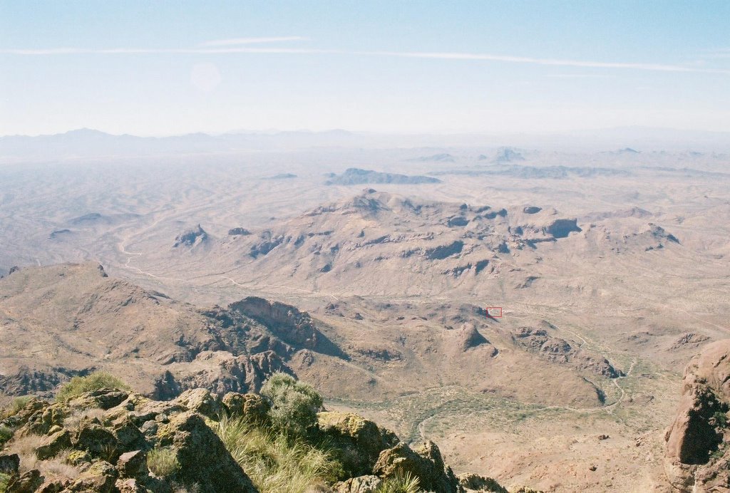 Here is Kurt (the hike leader), Brian (the guy that road with me) and me in front of the Military radio gear that is perched a top the peak.
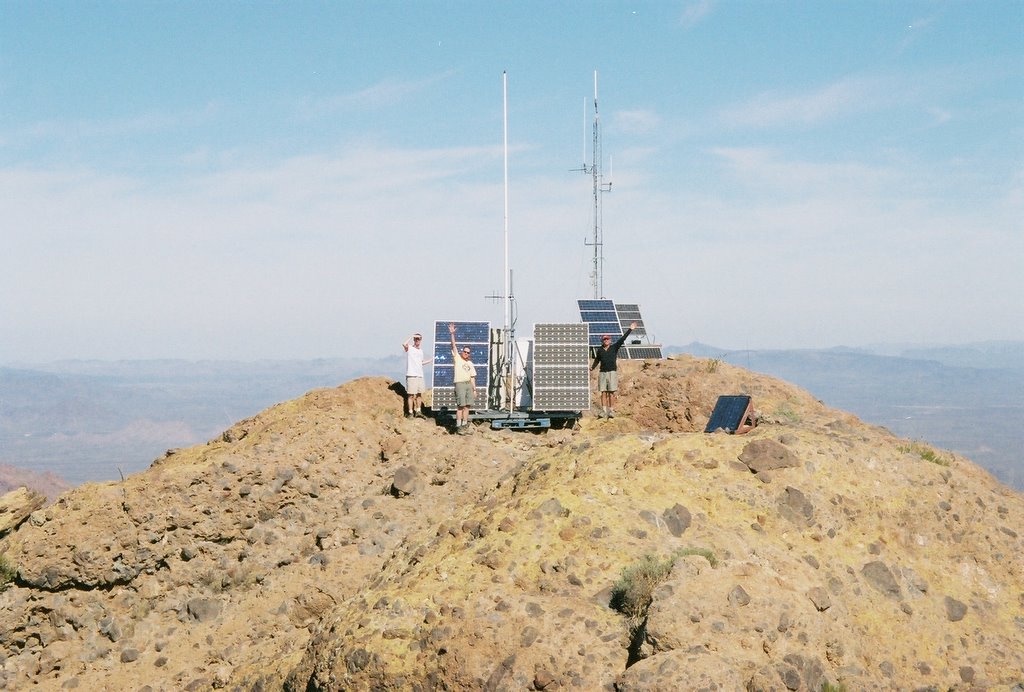 Here is one of an awesome arch with a cool rock sticking up on top. On the decent we stopped at this arch and where able to do a little rock climbing and actually get up inside the arch which is much larger than this photo shows. Hopefully I can get my hands on that photo as it was taken with someone elses camera...
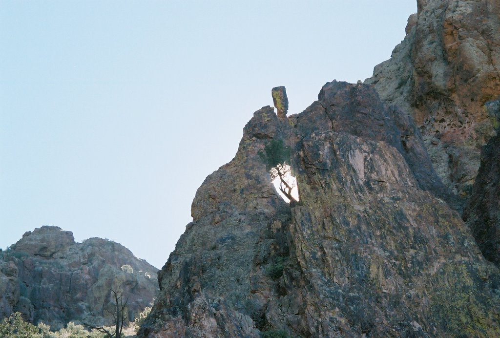 And I will leave you with one last photo of me on the summit with my newly shaven head!!!
No comments:
Post a Comment